Impact of Cold Front on Tropical Systems: Current Trends and Forecasts
A strong fall cold front will prevent tropical systems from impacting the U.S. in the near future. While a Tropical Disturbance near Africa has a medium chance of developing, it is not expected to threaten the Gulf or Atlantic next week due to current weather patterns. Further monitoring of potential disturbances in the Caribbean is warranted as the hurricane season progresses, particularly for Central America.
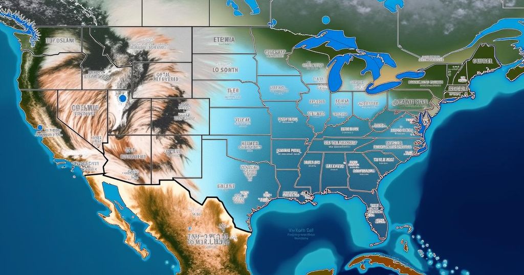
A significant fall cold front is poised to influence weather conditions across the United States, effectively preventing any impending tropical systems from affecting the region in the near future. Currently, a Tropical Disturbance near Africa is progressing westward, with the National Hurricane Center indicating a moderate possibility of its evolution into a tropical depression over the upcoming days. An upper-level disturbance originating from Alaska is anticipated to strengthen a dip in the jet stream across the eastern United States, driving a cold front through Florida next week. This combination of surface and upper-level atmospheric conditions is expected to inhibit any tropical systems from advancing into either the northern Gulf of Mexico or the Atlantic Ocean at least through the next week. In relation to ongoing tropical developments, Tropical Storm Leslie appears to be diminishing in intensity and is not projected to make landfall. Moreover, the American GFS forecasting model has suggested the potential formation of a significant storm within the southwestern Caribbean Sea later in the week. However, alternative computer models indicate either a weak disturbance or minimal activity. Should this system develop, it could impact Central America. The southern Caribbean is prone to the emergence of disturbances during this time of year, and the robust east-to-west winds linked to the cold front may serve to promote the development of such systems. This is an area that necessitates monitoring as the hurricane season progresses. On a positive note, the arrival of fall weather brings much-needed cool and dry air, providing relief to those millions of residents in Central and Western Florida who are still without power due to recent weather events.
The article addresses the current weather patterns influencing tropical activity in the Atlantic Ocean, particularly in relation to the United States. It highlights the impact of a strong cold front that is emerging from the north, along with an upper-level disturbance that may inform the trajectory of hurricane developments. Additionally, it notes the presence of a Tropical Disturbance near Africa and discusses other tropical systems that are consequently less likely to affect the U.S. weather conditions in the short term. The discussion is situated within the broader context of hurricane season, particularly as October marks a unique period for tropical storm formation.
In summary, the interaction of a cold front and upper-level disturbances signifies a temporary reprieve from tropical activity for the United States, specifically through next week. While monitoring continues for a Tropical Disturbance near Africa and potential developments in the Caribbean, current forecasts suggest that mainland U.S. will not encounter any significant threats from tropical systems for the immediate future. This change in weather pattern represents a positive development for residents in affected areas of Florida.
Original Source: www.foxweather.com


Post Comment