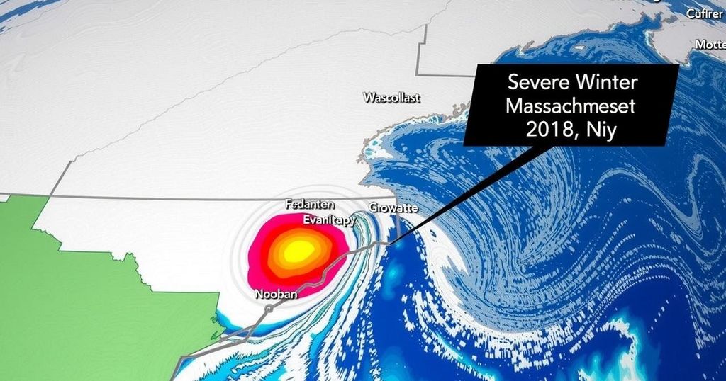
Understanding Bomb Cyclones: Massachusetts Faces Major Storm Today
A bomb cyclone is impacting Massachusetts with heavy rain and strong winds, projected to last through this evening. Rainfall could reach 2-4 inches, causing possible localized flooding. Wind gusts may reach up to 60 miles per hour. The storm is expected to diminish by Thursday, with cooler temperatures returning by the weekend.
The Northeastern United States, particularly Massachusetts, is currently experiencing severe weather due to a “bomb cyclone.” This phenomenon, characterized by rapid intensification over a short time frame, is anticipated to cause significant rainfall and strong winds throughout the day. The National Weather Service has indicated that areas may see rainfall between 2 to 4 inches, particularly during the evening commute, raising concerns for localized flooding and hazardous travel conditions. Wind gusts are expected to reach between 50 to 60 miles per hour, particularly in eastern Massachusetts. Although warmer temperatures are prevalent now, a transition to drier and cooler conditions is anticipated post-storm, with a significant drop in temperature expected by the weekend.
A bomb cyclone is a meteorological occurrence linked to rapid storm intensification, specifically defined by the term “bombogenesis.” According to AccuWeather, this term embodies a storm’s explosive development, where an area of low pressure significantly strengthens within a 24-hour period. Such extreme weather events can result in substantial precipitation and high winds, significantly impacting regions within its path, as evident in today’s weather forecast for Massachusetts and the broader New England area.
In summary, Massachusetts is currently facing serious weather challenges attributed to a bomb cyclone, characterized by heavy rain, strong winds, and the threat of flooding. The National Weather Service has provided guidance on expected rainfall totals, wind conditions, and a timeline for the storm’s progression. Residents should prepare for adverse weather implications throughout this event, with conditions expected to improve following its passing.
Original Source: www.capecodtimes.com


Post Comment