First Alert Weather Day for Hawaii Island: Thunderstorms and Potential Hazards Ahead
A First Alert Weather Day has been issued for Hawaii Island due to a new disturbance causing thunderstorms, hail, and strong winds. The weather is expected to improve over the weekend, but some areas may still experience showers and potential thunderstorms. Residents are encouraged to use the First Alert Weather App for updates.
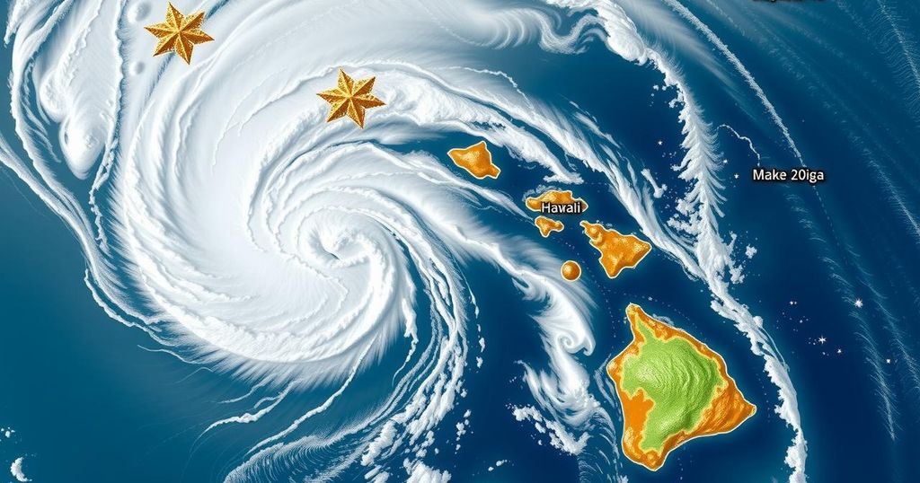
The First Alert Weather Team for Hawaii News Now has declared Friday as a significant weather day for Hawaii Island, as a new upper-level disturbance approaches the state. This situation has led to numerous thunderstorms across Maui and Hawaii Island, with severe weather characterized by hail and strong winds exceeding 50 mph observed in nocturnal thunderstorms. The weather team is closely monitoring the conditions, which are expected to persist into Saturday as the disturbance remains stationary near Hawaii Island.
Rainfall is anticipated to decrease over Oahu and parts of Maui County as the day progresses, and fair weather is expected to gradually return to the islands over the weekend. However, lingering trade wind showers may continue to impact Hawaii Island and eastern Maui, particularly during the overnight and early morning hours. The weather could be further complicated by the potential for pop-up storms in the eastern coastal waters, leading to additional thunderstorms in mauka neighborhoods of Hawaii Island.
As daytime heating takes effect, instability may cause heavier showers on the Kona slopes, accompanied by a slight chance of thunderstorms. Looking ahead to the weekend, the trough axis of the upper-level disturbance may lead to enhanced trade wind showers, particularly east of the Big Island and over eastern Maui. Overall, fair weather is expected for Kauai and Oahu, while the summits of Hawaii Island may experience snow and strong winds, posing challenges for visibility and road conditions at higher altitudes.
To stay informed of these dynamic changes, residents are encouraged to utilize the First Alert Weather Application and interactive radar, which provide real-time updates on developing weather conditions, including thunderstorms. This modern tool allows residents to have immediate access to critical information about weather developments in their vicinity.
The recent weather events affecting Hawaii Island stem from an upper-level low pressure system, which has isolated itself from the prevailing jet stream. Such disturbances can enhance the instability in the atmosphere, resulting in severe weather conditions, including thunderstorms and heavy rainfall. As the situation evolves, temperatures and atmospheric pressure changes contribute to varying weather patterns across the Hawaiian Islands, making continuous monitoring crucial for local residents and visitors.
In summary, a First Alert Weather Day has been declared for Hawaii Island as an upper-level disturbance brings significant thunderstorms and potential hazards, including hail and high winds. While a gradual return to fair weather is expected over the weekend, lingering showers and the possibility of additional thunderstorms remain concerns, particularly for eastern coastal areas and the higher elevations. Residents are advised to utilize weather apps for timely updates on changing conditions.
Original Source: www.hawaiinewsnow.com


Post Comment