Montana Weather Update: Warm Days Ahead Followed by Snowy Conditions
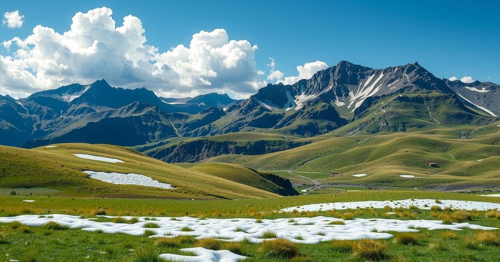
Montana is experiencing warm weather with temperatures in the 60s and 70s, but a strong cold front is expected to bring showers and snow, particularly in mountainous areas. Winter weather advisories are in effect, with significant snowfall predicted and a wind advisory for several valleys. After a cold Thursday, milder temperatures will return this weekend.
In Montana, residents are currently experiencing warmer temperatures in the 60s and 70s, significantly higher than the previous day by approximately 8 to 21 degrees. The weather features clear to partly cloudy skies, complemented by winds from 5 to 15 mph, with occasional gusts reaching 20 to 30 mph, particularly east of the divide. This pleasant spring weather is attributed to high pressure in the region.
However, a stark change is anticipated as a strong cold front moves in, bringing showers and thundershowers starting tomorrow. This transition will further lead to a change from rain to snow as colder air settles over the state. Winter weather advisories have been issued for most mountain areas and populated regions such as Butte, Georgetown Lake, and Seeley Lake, forecasting snow accumulations of 1 to 3 inches in lower elevations and up to 6 inches in the mountains.
The winter storm watch includes the mountainous regions of southwest and central Montana, predicting snowfall totals between 4 and 20 inches, which affects areas such as Bozeman Pass, Big Sky, and West Yellowstone. Additionally, a wind advisory is in effect for Wednesday afternoon and evening across locations including the Missoula, Bitterroot, Mission, Flathead Valleys, and parts of Fort Peck Lake, with gusts anticipated to reach up to 40 mph.
Expect significant temperature drops on Thursday, contrasted by a warming trend expected to return this weekend. Overnight lows are projected to be within the 30s to lower 40s, while tomorrow’s highs are forecasted to range from the 30s to the 40s in northern and central Montana, with highs in the 50s and 60s elsewhere. By Thursday, highs will decrease to the 30s and 40s but will rebound to the 50s and 60s over the weekend.
In summary, Montana is currently enjoying unseasonably warm weather that will soon give way to much cooler temperatures and significant snowfall due to an incoming cold front. Residents should prepare for winter conditions, including snow accumulations and high winds, particularly in mountainous regions and valleys. A shift back to milder temperatures is expected as the weekend approaches.
Original Source: www.montanarightnow.com


Post Comment