Rising Land in South Africa: New Study Links Uplift to Drought Conditions
South Africa’s land is rising due to water loss from droughts, with an average uplift of 6 mm recorded from 2012 to 2020. Using GPS data, researchers discovered that patterns of land uplift correlate with drought conditions, particularly during the severe Day Zero drought. This study highlights how GPS technology can assist in monitoring water resource management in the future.
Recent findings indicate that the land beneath South Africa is rising annually, and researchers believe they have identified the reason behind this phenomenon. According to a GPS-based study, the land experienced an average uplift of 6 millimeters (or 0.2 inches) between 2012 and 2020, with drought appearing to be the primary contributing factor.
The study is noteworthy as scientists developed a new model for measuring this land uplift alongside associated water loss by utilizing GPS data. In South Africa, the patterns of uplift were found to correlate with periods of drought, as well as the seasonal shifts between wet and dry conditions. This innovative GPS-based model could potentially assist researchers in detecting future drought conditions, as indicated by the researchers.
For over a decade, it has been recognized that South Africa is experiencing land uplift. Initially, this uplift was often attributed to a plume of hot rock located in the mantle, Earth’s middle layer, beneath the nation. This mantle plume occurs when hot material rises from deep within the mantle, exerting pressure that lifts the land above.
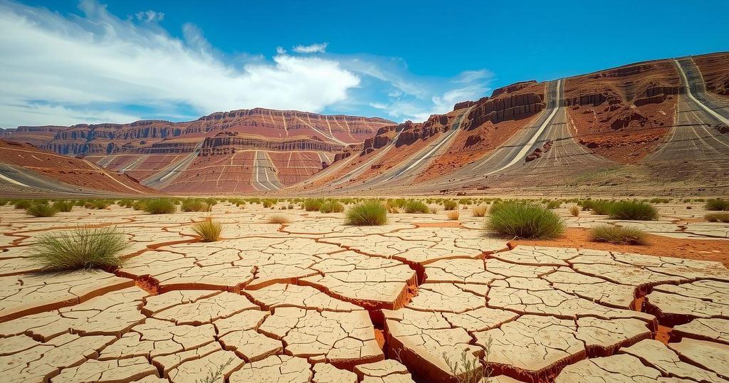
However, Makan Karegar, a geodesist at the University of Bonn in Germany, observed a correlation between the uplift data in South Africa and occurrences of drought. Particularly, Karegar and his colleagues noticed a link between this uplift and the serious drought known as “Day Zero,” which spanned from 2015 to 2018, posing a threat of municipal water supply shutoffs in Cape Town. Karegar commented, “We started to think there should be a link between this pattern and water loss.”
To further explore this relationship, the research team gathered GPS data from various permanent stations situated throughout South Africa. These stations have the capability to measure gradual height changes with precision down to fractions of a millimeter annually. The new study, released on April 9 in the Journal of Geophysical Research: Solid Earth, elaborated on how land uplift corresponds to changes in the country’s water storage.
As South Africa’s water sources diminished—from surface reservoirs to groundwater—the land reacted by rising, resembling how memory foam rebounds after a weight is lifted. Though regional and seasonal height variations were recorded, overall results indicated an average rise of 6 mm from 2012 to 2020 due to water loss, with some drought-affected regions near water reservoirs rising up to 10 mm (0.4 inches).
Christian Mielke, another geodesist involved in the study, remarked on the unexpected extent of the uplift: “The biggest surprise for us was that we saw an uplift over most parts of South Africa.” Initially, it had been anticipated that the uplift effects would mostly be confined to urban regions close to water reservoirs.
Following this, the research team ensured their model’s accuracy by comparing the altitude changes across South Africa with existing data concerning water storage and loss. They discovered a strong agreement between the GPS results and satellite data predicting water loss, suggesting that while a mantle plume could still play a role, water loss is primarily responsible for the observed uplift.
This research implies that the uplift phenomenon may not be a lasting one. Karegar mentioned that, with sufficient rainfall restoring water to reservoirs, the land may eventually sink once more. However, determining how much time would be necessary for the land to rise or sink again will likely necessitate additional data. Bill Hammond, a geodesist at the University of Nevada Reno, expressed some uncertainties, emphasizing, “We often don’t know how long our current measurements are applicable for.”
In the meantime, the application of GPS measurements as a strategy for monitoring drought conditions is an emerging field. Karegar pointed out that although existing GPS stations in South Africa have wide spacing, locations in other regions with denser networks could significantly aid in water resource management.
In conclusion, the rising land beneath South Africa is a complex interplay of drought and potential geological factors. Current research indicates that the primary force appears to be water loss, revealing important insights into managing water resources in the midst of changing climatic conditions. To track these developments, ongoing GPS measurements may prove invaluable as they provide an innovative tool for monitoring future drought conditions and potential land shifts.
Original Source: www.livescience.com


Post Comment