Weather
ASIA, AUSTRALIA, AVILA BEACH, CALIFORNIA, CENTRAL COAST, CENTRAL COAST AQUARIUM, CHAMBER OF COMMERCE, COAST, DIABLO CANYON, DIABLO CANYON WAVERIDER BUOY, HURRICANE, HURRICANE SEASON, LOMPOC, METEOROLOGY, NORTH AMERICA, OCEANIA, PHILIPPINES, RAIN, SANTA LUCIA, SANTA MARIA, SANTA YNEZ, SOUTH AMERICA, UNITED STATES, VENEZUELA, WEATHER, WEATHER FORECAST
Marcus Chen
0 Comments
Central Coast Weather Outlook: Warming Temperatures and Light Winds Ahead
The Central Coast will experience pleasant, warm weather this week due to high pressure, with temperatures rising into the 80s. A series of dry cold fronts will introduce moderate gale-force winds and cooler temperatures later in the week. The ocean is becoming increasingly active, warranting caution, while a community event will address climate-related changes impacting the coast.
This week, the Central Coast will experience pleasant weather conditions, commonly referred to as “Chamber of Commerce” weather, characterized by mostly clear skies and above-average temperatures due to significant high pressure over California. As the storm track remains positioned to the north, this system is expected to generate moderate morning and nighttime northeasterly winds, transitioning to stronger northwesterly winds in the afternoons along the coast through Friday.
Temperatures will begin to dip into the low-to-mid-40s overnight in inland areas like Santa Ynez, while coastal regions such as Santa Maria and Lompoc will experience temperatures in the high 40s to low 50s. Throughout the coming days, daytime highs will ascend to the mid-to-high 70s from Saturday to Monday, and possibly reach the 80s on Tuesday and Wednesday, with Santa Maria forecasting a high of 87 degrees on Wednesday, which would tie a 1926 record.
Beginning on Friday and lasting until next Monday, a series of dry cold fronts are projected to enter the Central Coast, introducing a shift to cooler weather along with moderate gale-force northwesterly winds. This weather change is anticipated to bring marine stratus clouds to coastal areas and could potentially lead to rainfall and low-level snow between March 5 and 7, as indicated by long-range forecasts.
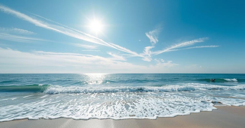
A special note regarding ocean conditions suggests that wave activity is increasing, particularly following a significant swell event on December 23, 2024, which was the most severe in over fifty years. The implications of this event in the context of climate change will be discussed at the “Science After Dark” fundraising event at the Central Coast Aquarium on February 25 at 6 p.m.
For surf enthusiasts, a 6-to-8-foot northwesterly sea and swell are expected from Saturday through Thursday. Gale force northwesterly winds will create 8-to-10-foot swell conditions along the coastline through Monday, enhancing surf opportunities for experienced individuals. Furthermore, seawater temperatures are projected to range from 52 to 54 degrees, dipping slightly to 50 to 52 degrees in the subsequent period.
Reviewing notable historical weather events, records show a blizzard affected Western Kansas in 1987, while in 2009, strong northwesterly winds reached significant speeds along the California coast. Recent years, such as 2022, have seen varied precipitation across the Central Coast, exemplifying the region’s dynamic weather patterns.
The Central Coast is poised for a week of delightful weather marked by high temperatures and favorable conditions due to prevailing high pressure. As the week progresses, residents can expect marked temperature increases, though caution is advised as dry fronts may introduce wind and cooler temperatures later. The upcoming community event will provide insight into ongoing weather patterns and their potential future impacts, particularly concerning oceanic waves.
Original Source: santamariatimes.com


Post Comment