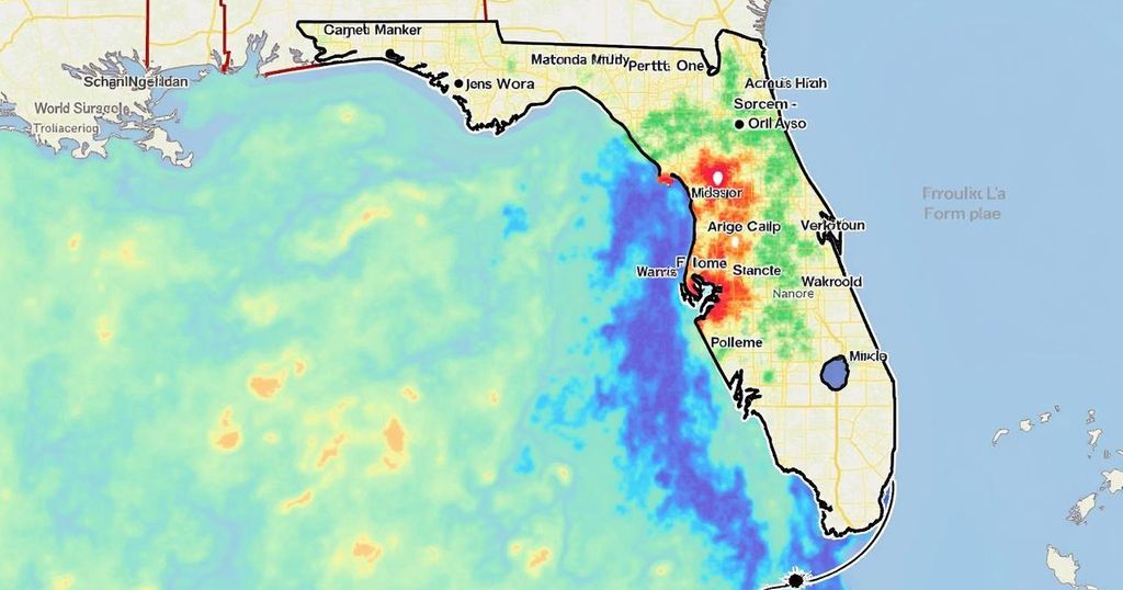
Florida Climate Center Reports on Hurricane Milton’s Impact: Surge and Tornado Activity
Hurricane Milton caused notable storm surges in southwest Florida, surpassing those of Hurricane Helene, with 5.08 feet at Naples and 5.26 feet at Fort Myers. It did not reach the levels of Hurricane Ian’s peak. The storm was accompanied by a record 126 tornado warnings statewide, which is significant when compared to historical data.
In the aftermath of Hurricane Milton, a comprehensive evaluation of its impact on southwest Florida was conducted by the Florida Climate Center based in Tallahassee. The assessment highlights key data points and compares them with previous storms, particularly Hurricanes Helene and Ian. Emily Powell, the assistant state climatologist, indicated that the impacts in the local area were somewhat mitigated. “It looks like your area was spared from the worst of impacts, with much of the heavy rain and winds to the north in the St. Petersburg/Tampa and Sarasota areas,” she stated. Peak surge levels recorded at coastal tide gauge stations showed that Milton’s surge surpassed those of Helene: 5.08 feet at Naples, which was higher than Helene’s 4.02 feet, and 5.26 feet at Fort Myers, where Helene peaked at 5.12 feet. Notably, the record surge at this location, caused by Hurricane Ian in 2022, remains at 7.3 feet. Particularly alarming were the high water levels reported near Marco Island peaking at 28.52 feet, alongside a major flood stage at the North Naples Bay river gauge, which reached 5.08 feet, exceeding Helene’s levels. Regarding tornado activity, Powell noted an unprecedented issuance of tornado warnings across Florida. “There were a record number of tornado warnings issued yesterday across the state. Collier and Lee Counties had a few tornado warnings – four that I can see,” she remarked. In total, Florida realized 126 tornado warnings, surpassing the previous state record set by Hurricane Irma in 2017. This figure ranks as the second-highest for tornado warnings issued in a single day across any state, only behind an outbreak in Alabama in 2011. The News-Press is actively pursuing additional weather data from the National Weather Service in Tampa, which includes specifics on wind gusts and rainfall totals.
The article discusses the impact of Hurricane Milton on southwest Florida, providing insights from the Florida Climate Center. It compares the storm’s effects and data to those of previous hurricanes, specifically Helene and Ian. Emily Powell, the assistant state climatologist, provides detailed statistics on storm surges and tornado warnings, offering a context for understanding the severity of Milton’s impact in relation to recent storms in the region.
In conclusion, Hurricane Milton has registered significant storm surge levels in southwest Florida, exceeding those of Hurricane Helene but falling short of those recorded during Hurricane Ian. The unprecedented number of tornado warnings issued indicates an increased level of storm activity statewide. Further assessments will clarify the overall impact of Milton, especially regarding confirmed tornado incidents and the extent of damage incurred.
Original Source: www.news-press.com


Post Comment