Watching for Tropical Development Near the Caribbean: An Update on Invest 94L
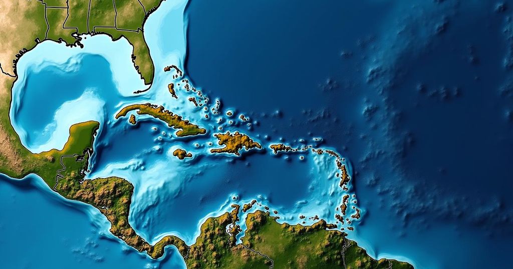
The tropical disturbance Invest 94L is currently moving westward through the dry air of the Atlantic, with development chances expected to rise as it approaches the northeastern Caribbean islands by Friday. Impacts on Puerto Rico, the Dominican Republic, and surrounding areas cannot be ruled out, while Florida appears to be safe for now.
In the latest observations, tropical disturbance Invest 94L continues to progress westward through a challenging environment in the tropical Atlantic, where dry air has inhibited the formation of thunderstorms within its circulation. While development appears unlikely over the next couple of days, conditions are anticipated to become more favorable for development as the system approaches the northeastern Caribbean islands around Friday. This period could mark a significant shift in organizational potential, with the National Hurricane Center predicting a medium chance of the system developing into at least a tropical depression upon entering the waters near or just north of Puerto Rico. Typically, tropical disturbances that originate from Africa do not traverse to the Caribbean this time of year due to cooling ocean waters, increasingly adverse upper-level winds, and effects from the jet stream that redirect systems towards the north. However, an unusual combination of warmer ocean temperatures and a persistent area of high pressure north of the disturbance is allowing this trajectory. Although satellite imagery indicates the emergence of stronger thunderstorms adjacent to the system’s center, the overall circulation remains largely disrupted. By Friday, steering currents are expected to ease, which may lead to a drift of the system towards Puerto Rico, the Dominican Republic, Haiti, or the southeastern Bahamas. Consequently, potential impacts from a tropical storm or hurricane cannot be discounted for some of these islands. Residents in Puerto Rico, the Virgin Islands, Hispañola, and the southeastern Bahamas are urged to remain vigilant this week, although Florida does not currently face any threat given the presence of a cold front in the region. While the current trajectory shows no immediate danger to Florida, the situation remains fluid; thus, monitoring for further developments is essential as the system becomes better defined. As always, forecasts concerning the intensity and path of developing systems are subject to considerable variability.
The discussion surrounding Invest 94L emphasizes the complexities of tropical weather systems, particularly as they evolve in the Atlantic Ocean. Typically, tropical systems are greatly influenced by environmental factors such as dry air, ocean temperatures, and wind patterns that govern their development and trajectory. The current observation highlights an aberrant situation where the system is making its way towards the Caribbean despite the prevailing seasonally typical conditions that would ordinarily inhibit such a pattern. The lingering impacts of global weather patterns further complicate predictions, stressing the necessity for residents in projected paths to stay updated on any shifts in the system’s behavior.
In summary, the tropical disturbance Invest 94L, currently tracking through a dry atmosphere in the Atlantic, is anticipated to approach the northeastern Caribbean by Friday, with an increased chance of development. Residents in affected areas should stay informed as the situation evolves, while the absence of any immediate threat to Florida suggests that local concerns may be reduced. This ongoing situation necessitates vigilant observation due to the inherent uncertainties associated with developing systems.
Original Source: www.foxweather.com


Post Comment