Monitoring Invest 95L: Anticipating Landfall and Weather Impacts
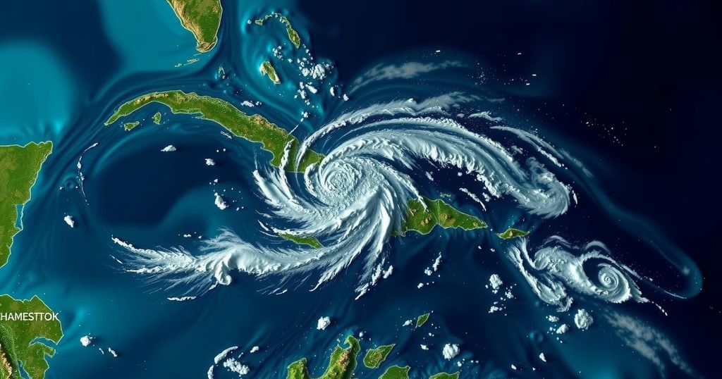
Meteorologist Bryan Norcross is monitoring Invest 95L, a tropical disturbance expected to track toward Belize and Yucatán, Mexico by tomorrow. There is a medium chance for the system to develop into Tropical Storm Nadine before landfall, with maximum winds anticipated to reach 30-35 mph. Residents in affected areas should stay informed, while Florida’s East Coast should prepare for high tide conditions due to the Hunter’s Supermoon.
As of the morning of October 18, 2024, meteorologist Bryan Norcross is closely monitoring the potential development of Invest 95L, a tropical disturbance situated near the coast of Nicaragua and Honduras. This system is projected to remain offshore of the northern coast of Honduras today and is expected to follow a westward trajectory toward Belize and Yucatán, Mexico, with landfall anticipated early tomorrow. Current assessments by the National Hurricane Center indicate a medium chance for Invest 95L to evolve into a tropical depression or possibly Tropical Storm Nadine just prior to landfall. Although the system is not expected to intensify significantly, it may still produce winds reaching 30-35 mph, particularly north of the center where the strongest gusts will occur.
In meteorological terms, Invest 95L has been classified as a tropical disturbance and is being closely observed for its potential to develop further as it approaches land. The National Hurricane Center’s tracking and forecasting model remains a vital component in understanding the possible impacts of such systems on coastal regions. The focus on the system’s intensity is essential given its trajectory towards populated areas such as Belize and the Yucatán Peninsula, which historically can experience severe weather from these disturbances. Furthermore, the seasonal trends and current atmospheric conditions, including the influence of a cold front, are critical factors that contribute to the complexity of forecasts during this period.
In conclusion, while Invest 95L is projected to generate some wind and weather impacts in the northern Honduras and Yucatán Peninsula regions, the consensus among meteorological forecasts is that it will not develop into a significant storm. Residents in these areas are advised to remain vigilant, as unexpected developments can occur prior to landfall. Concurrently, residents along the Florida East Coast are cautioned about heightened tides influenced by astronomical and meteorological conditions. Monitoring and preparedness are essential during this period of potential meteorological activity.
Original Source: www.foxweather.com


Post Comment