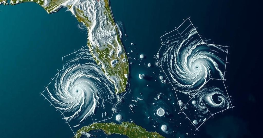
Tropical Weather Outlook Update: No Cyclone Formation Expected
The National Hurricane Center reports no expected tropical cyclone formation in the Atlantic, Caribbean, and Gulf of Mexico for the next week, concluding the 2024 storm outlooks until May 2025. Fresh to strong winds and varied sea conditions are anticipated in these regions due to existing high-pressure systems and troughs.
The National Hurricane Center has announced that no tropical cyclones are expected to form in the North Atlantic, Caribbean Sea, and Gulf of Mexico over the next week. This marks the conclusion of the routine Tropical Weather Outlooks for the 2024 Atlantic Hurricane Season, which will resume on May 15, 2025. In the interim, special outlooks may be issued on an as-needed basis.
In the Gulf of Mexico, a trough remains along the 95W line, generating scattered showers and thunderstorms. Weather conditions indicate fresh to strong winds across the southern regions and moderate seas in the northern areas. Moving forward, high pressure is expected to build over the southeastern United States, producing stronger winds and potentially rough seas until a weak cold front reaches the northern Gulf coast later this week.
In the Caribbean Sea, fresh to strong winds are present due to high pressure to the north. Increased shower and thunderstorm activity is associated with the convergence of these winds off the coasts of Panama and Costa Rica. As the week progresses, the high pressure will weaken, although rough seas and strong winds will persist in certain regions.
The Atlantic Ocean experiences some showers and thunderstorms associated with a weak cold front reaching from Bermuda to the northern Bahamas. The merging of cold fronts is likely to occur, affecting weather patterns and sea conditions significantly across the region. By week’s end, additional cold fronts will be anticipated, further influencing wind patterns and wave heights throughout the Atlantic.
Overall, the weather outlook indicates a transitional period with varying wind strength, sea conditions, and potential storm activities as fronts interact with existing weather systems.
The Atlantic Hurricane Season, which runs from June 1 to November 30, is a time when tropical cyclones can develop over the North Atlantic. The National Hurricane Center provides forecasts and alerts to inform the public and government agencies about potential hurricanes and tropical storms. As the season comes to a close for routine outlooks, the focus shifts to any abnormal weather patterns or systems that may form outside the typical hurricane window, which can still pose threats to coastal areas.
In summary, the current weather forecast indicates no immediate tropical cyclone activity in the Atlantic region while still highlighting ongoing environmental factors, such as troughs and high-pressure systems, affecting the Gulf of Mexico and Caribbean Sea. The end of the regular hurricane season reports necessitates vigilance for any abnormal cyclone formation until the next outlooks resume in May 2025, reaffirming the importance of constant monitoring during the off-season.
Original Source: www.click2houston.com


Post Comment